
Falls Township ZIP Code Directory Coverage
The County site-address-point layer identifies four postal community labels within municipal Falls Township. Its figures are address points, not population totals, household counts, USPS delivery totals, or a complete address list. The labels show why a postal city name should be checked against the municipal field before a record search. Each row below reflects the County layer rather than a claim that the entire named postal community lies in Falls Township.
| ZIP code | Falls Township area in County layer | Post office / postal label | County-layer note |
|---|---|---|---|
| 19030 | Falls Township address points | Fairless Hills | 3,480 points; the Township office uses this ZIP. |
| 19047 | Limited Falls Township cluster | Langhorne | 111 points; not a broad Langhorne coverage claim. |
| 19054 | Falls Township address points | Levittown | 4,800 points; Levittown spans several municipalities. |
| 19067 | Falls Township address points | Morrisville | 3,528 points; Morrisville is also a separate borough. |
Fairless Hills, Langhorne, Levittown, and Morrisville are postal community labels in the County data. A mailing label is useful for finding an address, yet the Inc_Muni field is the local-government check. Use Post_Code and Post_Comm for postal information, and do not substitute either field for the municipal boundary.
Four Postal Labels in Falls Township
Falls Township has overlapping postal and historical landscapes. It includes areas associated with Fairless Hills and Levittown, is bounded on the east and south by the Delaware, and has links to an older Fallsington record center. The four labels in the address-point layer reflect that geography. The small 19047 cluster needs special care because it covers only 111 County Falls address points. A search that assumes every Langhorne-labeled address is broadly part of Falls Township would be inaccurate.
The 19054 Levittown label deserves the same caution. Levittown crosses municipal lines, so a search should read the property’s municipality rather than infer it from the postal city. The 19067 Morrisville label can also appear for Falls Township points even though Morrisville is a distinct borough. These are not mistakes in the layer. They are examples of postal routing and municipal jurisdiction answering different questions.
Check Falls Township ZIP Code Boundaries
For a specific address, first verify its delivery form with USPS. Then use the County address and parcel map to check whether the municipality field is Falls Township. Only after that should a property question move to Assessment or the Recorder. This order matters because a postal label can cross a township or borough line, while the County parcel and municipal data establish where a local record belongs. The County layer has Full_Addr, address components, Post_Code, Post_Comm, Inc_Muni, Uninc_Comm, Nbrhd_Comm, and ParcelID fields for those separate functions.
A careful ZIP code directory check records both kinds of field rather than forcing them to agree. Post_Code and Post_Comm describe the postal label. Inc_Muni identifies the incorporated municipal layer. Uninc_Comm and Nbrhd_Comm can add community context without changing the government jurisdiction. ParcelID is the bridge to a property record when one is needed. The County cautions that its point counts are useful scale only, not an address list or a guaranteed delivery count, so the USPS result remains the final delivery check for a particular mailing address.
The Bucks County address-point GIS layer is the source for the postal labels and municipal checks summarized here.
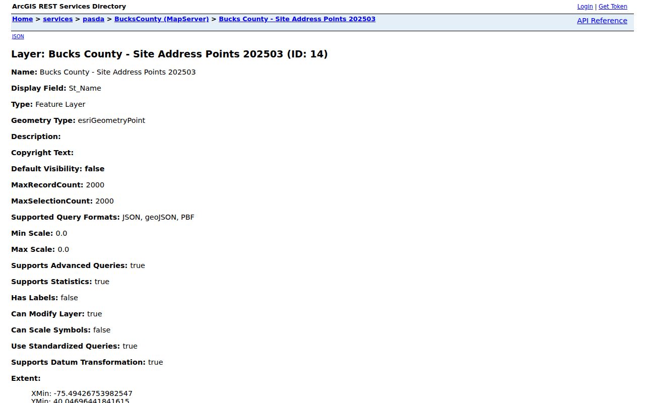
The layer gives location context, not a USPS guarantee or a resident roster. A confirmed mailing address and a municipal parcel result should be kept as separate notes when an address lies near a boundary.
Note: Postal routing and municipal jurisdiction should be checked separately whenever a Falls Township address carries a neighboring community label.
Use the Falls Township Tax Claim ZIP Code Field Carefully
For Falls Township, Bucks Tax Claim is the ZIP-capable official record tool identified for this research. Its ZIP field filters the delinquent-tax database, not all property records or all people. It can be useful when a delinquent-tax question is already relevant, but it is not a Falls Township ZIP code directory of residents. The form requires either a parcel number or last-name and address information, and its parcel syntax keeps dashes.
Tax Claim receives delinquent real-estate tax liens. A result can help locate a related public filing, but it should be read for its date, parties, parcel, and disposition rather than turned into a general account of a person’s circumstances. The corresponding mailing address is a tax contact detail and can differ from the physical situs. For current ownership, compare the relevant result with Assessment and then confirm a recent transfer through the Recorder’s recorded-instrument trail.
| Tax Claim field | Search use | Limit |
|---|---|---|
| Zip Code and City | Narrows a delinquent-tax query by mailing geography. | Does not identify all properties or people in a ZIP. |
| Location Address and Municipality | Connects a property location to the Township field. | Read with the case-specific tax context. |
| Owner Name and Mailing Address | Provides alternate query fields. | Mailing information is not proof of physical occupancy. |
| Parcel Number | Offers the strongest parcel-specific route. | Retain dashes as entered in the County system. |
The Bucks County Tax Claim inquiry displays the owner, mailing, municipality, and ZIP field route.
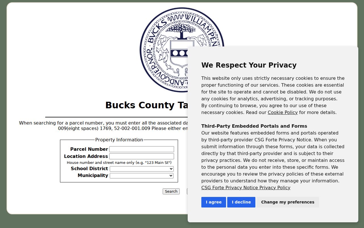
For current title or property-card information, use Assessment and the Recorder rather than drawing a broad conclusion from a tax delinquency search.
Search Falls Township ZIP Code Records
A ZIP-focused search works when the ZIP is treated as a location filter rather than a resident identifier. The documented workflow begins with delivery verification and municipal confirmation. It then moves to the custodian that holds the needed property, tax, court, credential, or election record. Assessment and Recorder searches answer property questions by address, parcel, or party. Tax Claim has the specific ZIP field but remains limited to its delinquent-tax database.
- Verify the exact mailing address with the official USPS ZIP Code Lookup.
- Check the County map’s municipal field and parcel information to confirm whether the address is in Falls Township.
- For a property question, use the address or parcel with Bucks Assessment, then confirm recorded title at the Bucks County Recorder of Deeds.
- Use the Tax Claim ZIP field only when a delinquent-tax search is the relevant record type.
- Keep a ZIP separate from voter status, which uses county, name, and date of birth or a PennDOT identification route.
Once a ZIP has narrowed the area, the Falls Township street directory provides the address-to-parcel and deed route without recasting postal geography as a household list.
Falls Township ZIP Code Is Not a Voter Key
Pennsylvania’s Voter Registration Status service does not search by ZIP. The name route requires a county, first name, last name, and date of birth, with house number used only to resolve multiple exact candidates. The identification route requires a Pennsylvania driver-license or PennDOT ID number and date of birth. Its successful individual screen can display status and election details, but it is not intended for a broad ZIP search.
Public voter-list access is governed by 25 Pa.C.S. §§1207 and 1404, including restricted-use and no-online-publication rules for lists. A Pennsylvania Address Confidentiality Program participant may use a substitute address. The presence or absence of a ZIP in another record should therefore not be used to draw conclusions about voter registration or a person’s current address.
Note: An exact voter-status result and a ZIP-based property record answer different questions and should not be treated as interchangeable evidence.
Search Historic Falls Township ZIP Code Names
Modern ZIP codes did not exist when early deeds, directories, and census records were created. For historical work, use place names from the record’s era. Falls Township was established in 1692, and its original territory included present Morrisville and Tullytown. Fallsington is an older local records anchor. Fairless Hills and Levittown are especially important postwar terms because the Fairless Works era brought extensive development and more than 9,000 homes between 1950 and 1970.
Those alternate labels can make an archival search more accurate than a modern ZIP. They also explain why a document can point to a familiar area while using a locality name that differs from current postal formatting. A property’s legal description, parcel detail, and dated instrument remain stronger identity evidence than a ZIP placed on a later record.
Note: A modern postal label is a useful index term, but it should not be projected backward onto a deed, directory, or census record.
Read Falls Township ZIP Code Limits and Terms
A ZIP code is a postal delivery tool, not a municipal boundary or a complete list of residents. The County’s address-point figures give scale for Falls Township postal labels, but they are not delivery totals or population statistics. No Falls Township PO-box-only or unique ZIP was identified in the research. The terms below help distinguish general postal concepts from a local claim about what a given ZIP contains.
- ZIP versus ZIP+4
- A ZIP identifies a delivery area; ZIP+4 adds four digits used to sort delivery more precisely.
- PO-box ZIP
- A ZIP assigned for post-office boxes rather than ordinary street delivery. None was identified for Falls Township in the available research.
- Unique ZIP
- A ZIP assigned to one organization or institution. The research does not identify one in Falls Township.
- Carrier route
- A delivery sequence used within a postal area. It does not define a Township boundary or a household roster.
The Pennsylvania Megan’s Law ZIP search is a separate public-safety source with its own purpose and limits.
A ZIP result from a public-safety source should not be treated as a general record of Falls Township residents. Confirm an address with the appropriate government custodian and respect the limits that source states.